Innovative Surveying Technology at Coast Surveying, Inc.

Harnessing Advanced Tools: LiDAR Scanners, sUAS, GNSS, GIS, and More for Accurate and Efficient Surveying Solutions.

LiDAR (Light Detection and Ranging) scanning is a game-changing technology in land surveying, offering high accuracy and efficiency across various applications. It is used for creating detailed topographic maps, even in densely vegetated areas, and for urban planning by generating precise models of buildings and infrastructure. LiDAR is essential for infrastructure inspection, flood risk assessment, and volumetric surveys in industries like mining and construction. Additionally, it aids in right-of-way surveys and cultural heritage documentation, providing comprehensive data that enhances project accuracy and efficiency.

sUAS (Small Unmanned Aerial Systems) are revolutionizing land surveying by providing rapid, accurate data collection through aerial imaging and LiDAR. Equipped with RGB sensors and LiDAR, sUAS can efficiently map large areas, capture high-resolution imagery, and generate 3D models for topographic surveys, construction monitoring, and environmental assessments. Their ability to access hard-to-reach or hazardous areas enhances safety and reduces time spent on-site. sUAS technology is also invaluable for volumetric analysis, infrastructure inspections, and right-of-way surveys, delivering precise, actionable data to improve decision-making and project outcomes.

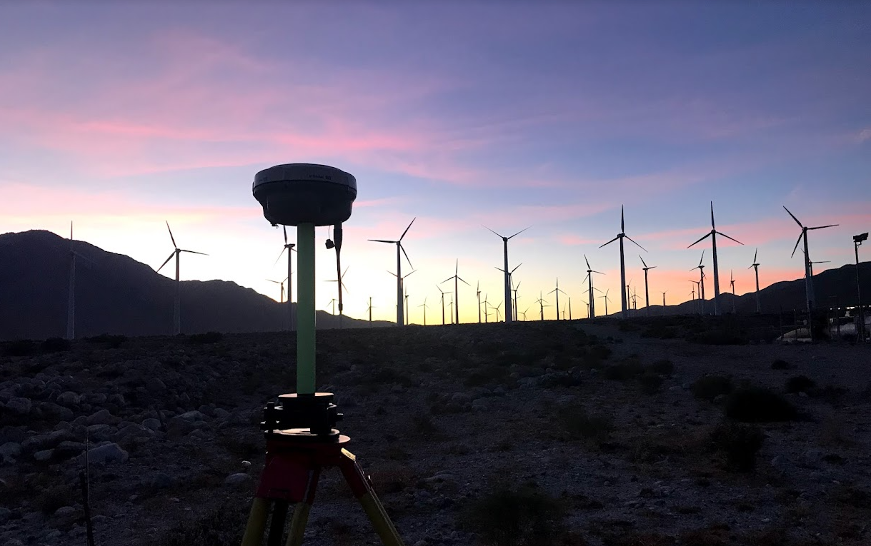
GNSS (Global Navigation Satellite System) technology is a cornerstone of modern land surveying, providing precise location data through satellite signals. GNSS receivers allow surveyors to accurately determine positions in real-time, enabling high-precision mapping, boundary determination, and topographic surveys over large areas. This technology is crucial for projects requiring exact coordinates, such as infrastructure development, construction site layout, and cadastral surveys. GNSS enhances efficiency by reducing the need for extensive ground control points, making it a reliable and time-saving tool for a wide range of surveying applications.