Professional Services
-
Providing design topographic surveying services is essential for infrastructure projects, as it involves accurately mapping the natural and man-made features of a site. This precision is crucial for informed decision-making during planning, design, and construction phases. Accurate topographic surveys enable engineers to optimize layouts, minimize environmental impacts, and ensure structural stability. Without accurate data, projects may face costly setbacks, errors in design, or safety hazards. Therefore, accuracy in topographic surveying is paramount for the success, functionality, and safety of infrastructure projects.
-
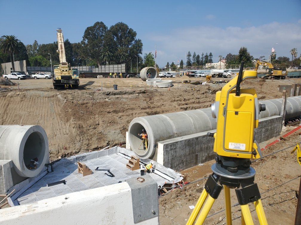
Construction surveying is pivotal in executing infrastructure projects, encompassing tasks like project control, staking, and stationing. Project control ensures that construction progresses according to design specifications and regulatory requirements, maintaining accuracy and quality throughout the process. Staking involves marking precise locations on the ground where structures, utilities, or other features are to be installed, guiding construction teams and equipment. Construction surveying is the guiding compass for successfully realizing infrastructure projects, ensuring they meet standards, deadlines, and objectives.
-
Providing boundary surveying services entails meticulously defining property lines and boundaries, a crucial step in many projects. Accuracy in boundary surveying is paramount as it establishes legal property boundaries and prevents disputes during construction or sale of property. Boundary analysis involves examining historical records, deeds, and legal documents to determine property lines accurately. Mapping the surveyed boundaries provides clear documentation for real estate transactions, designers, engineers, and contractors, facilitating accurate project planning and construction.
-
Coast Surveying Inc. offers comprehensive Right-of-Way (ROW) surveying services, essential for both public and private infrastructure projects. Our skilled professionals specialize in accurately mapping and delineating the land needed for roads, utilities, and other public works. We ensure that all ROW boundaries are clearly defined and documented, facilitating the smooth acquisition of necessary land and compliance with regulatory requirements. Our expertise extends to providing accurate legal descriptions, easement documentation, and detailed survey maps, supporting the seamless development and maintenance of transportation networks, utility corridors, and other vital infrastructure. Coast Surveying, Inc.'s commitment to accuracy and efficiency ensures that every project is completed with the highest standards of quality and professionalism.
-
Coast Surveying, Inc. provides precise and detailed legal descriptions and plats, essential for land development and property transactions. Our team of experienced surveyors drafts legal descriptions that clearly and accurately define property boundaries, ensuring compliance with local, state, and federal regulations. We also create high-quality plats visually representing property lines, subdivisions, easements, and other significant features. These plats are necessary for land division, development planning, and resolving boundary disputes. By offering reliable and thorough documentation, Coast Surveying, Inc. helps clients navigate the complexities of land ownership and development with confidence and clarity. Our dedication to precision and professionalism ensures that every legal description and plat meets the highest standards of accuracy and detail.
-
Coast Surveying, Inc. offers expert monitoring survey services to track and document the movement of structures, land, and other critical elements over time. Our team employs advanced techniques and equipment to accurately measure and record changes. These surveys ensure the stability and safety of buildings, bridges, dams, and other infrastructure, especially in areas prone to subsidence, seismic activity, or construction impacts. By providing detailed and accurate data, we help clients make informed maintenance, repairs, and risk management decisions. Coast Surveying, Inc.'s commitment to accuracy and reliability ensures that our monitoring surveys support your projects' long-term integrity and safety.
-
At Coast Surveying, Inc., we understand the crucial role of experience in providing exceptional survey management services for land surveying projects. Our seasoned professionals bring years of hands-on fieldwork and expertise in geospatial data collection and analysis, ensuring the accuracy and precision of surveying operations. With a comprehensive understanding of complex regulatory requirements, local land laws, and effective stakeholder communication, our experienced surveyors reduce the likelihood of errors and delays. Ultimately, their proficiency contributes to the successful and efficient completion of land surveying projects.
-
At Coast Surveying, Inc., we specialize in preserving vital monuments relied upon by agencies, districts, and construction companies for many years to preserve legal boundaries and right-of-way. Our expertise includes preserving thousands of centerline monuments, pre and post-construction corner records, and filing Records of Survey. We are committed to safeguarding these monuments to ensure the integrity of land surveys and construction projects. Our proven track record and comprehensive services provide accurate and reliable survey data, upholding the highest standards of quality
-
Coast Surveying Inc. understands the critical importance of accurate horizontal and vertical survey control in large-scale infrastructure projects, including rail, road, utility, and other developments. Our firm is committed to providing exact and reliable survey control to ensure the successful execution of these essential projects. By establishing and maintaining accurate control points, we contribute to such endeavors' overall safety, efficiency, and cost-effectiveness. Our expertise in surveying technology and methods allows us to support engineers, designers, and project managers in delivering results that meet the highest standards of accuracy and reliability.


